01
Review Construction Plans
Review site plans, dimensions, offsets, building locations, curb geometry, and required stakeout information before entering the field.
Loading portfolio
Field Operations & Construction Support
Supporting active construction projects through building layout, curb stakeout, field verification, and the transfer of design information into physical site locations.
Role
Survey/Civil Engineering Intern
Work Type
Construction Layout
Environment
Active Field Sites
Main Focus
Stakeout and Verification
Role
Survey/Civil Engineering Intern
Environment
Active residential and commercial construction sites
Equipment
Total station, GPS rover, data collector, and prism
Primary Work
Stakeout, building layout, curb layout, and site verification
Overview
Construction surveying connects the design information shown on a drawing with the work performed by construction crews in the field. Proposed buildings, curbs, roads, utilities, and site features must be accurately located before construction can move forward.
During my internship, I supported stakeout and verification work on residential and commercial projects. This involved reviewing project information, setting up survey equipment, locating design points, placing stakes, and communicating field information to other members of the project team.
Field Workflow
01
Review site plans, dimensions, offsets, building locations, curb geometry, and required stakeout information before entering the field.
02
Set up the survey equipment using known control points so construction locations can be accurately transferred from the drawings to the site.
03
Locate proposed improvements and place physical stakes that communicate alignment, offsets, elevations, and construction limits.
04
Check measurements and field conditions to confirm that the layout matches the project information and remains usable for the construction crew.
05
Record completed stakeout work, field observations, and any conditions requiring additional review or coordination.
Field Operations
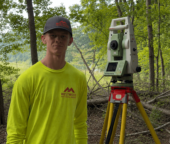
Total-station work required accurate setup, instrument orientation, point selection, communication with the rod person, and consistent verification throughout the survey.
Working in wooded, undeveloped, and active construction areas also required adapting to terrain, visibility, changing site conditions, and limited access.
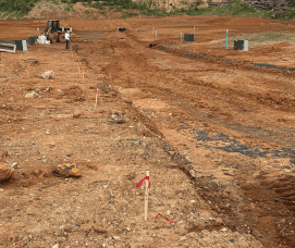
Curb Stakeout
Curb stakeout provides construction crews with physical references for proposed roadway geometry. Stakes may communicate alignment, offset, elevation, stationing, or other information needed to construct the curb according to the plans.
The work required maintaining a clear relationship between the design geometry, control points, site conditions, and the marks placed in the field.

Residential Building Layout
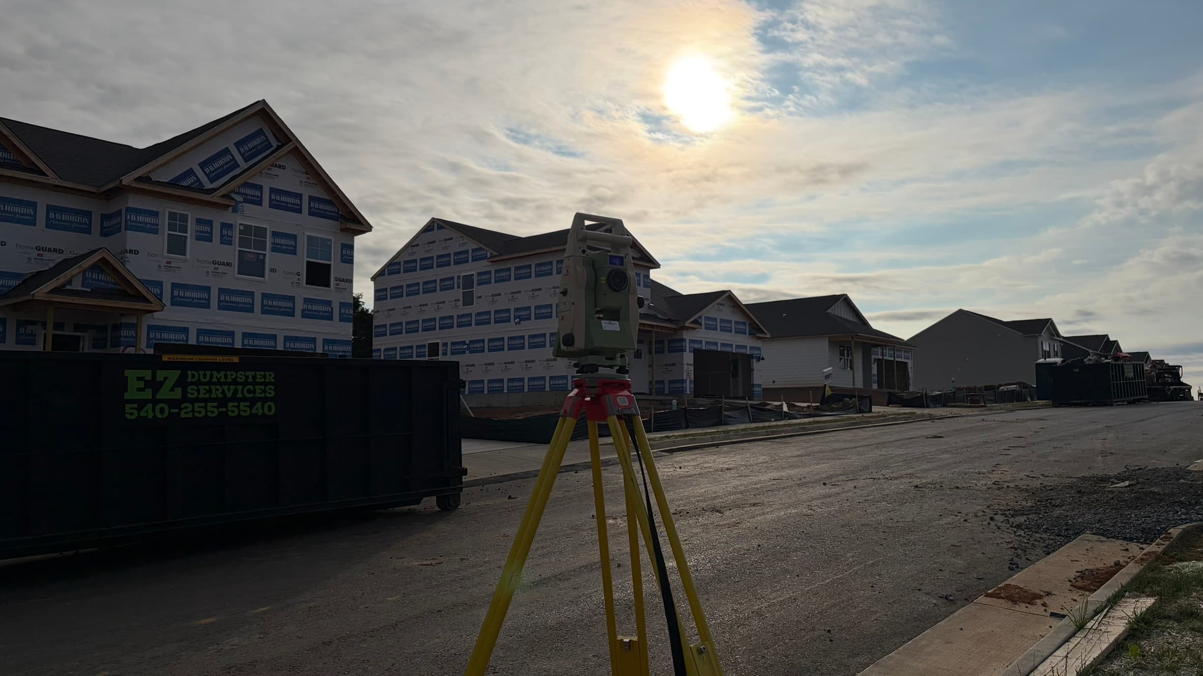
House staking transfers the proposed building footprint from the residential plans into the field. The stakes provide references for building corners, offsets, foundation layout, excavation, and related construction work.
This process connected directly with the residential lot plans I worked with in the office, including building placement, setbacks, lot boundaries, driveways, and surrounding site constraints.
Construction Context
Stakes and survey markings are temporary, but they guide work that becomes permanent. Buildings, pavement, curbing, sidewalks, utilities, and landscaping all depend on reliable reference information during construction.
Observing completed and active sites helped connect individual survey tasks with the larger construction process.
Field Responsibilities
Construction surveying required technical accuracy, clear field communication, reliable equipment operation, and an understanding of how design information would be used by the construction crew.
01
Supported the physical layout of residential structures using building corners, offsets, and reference stakes.
02
Placed stakes and reference information used to establish curb alignment and support roadway construction.
03
Measured active site conditions and checked locations against available construction and design information.
04
Worked with survey staff and construction personnel to ensure field information was clear, accurate, and usable.
Field Equipment
01
Used for precise angle, distance, and layout measurements on active construction sites.
02
Used for efficient positioning, field collection, and layout across larger project areas.
03
Managed project points, stakeout information, field codes, and recorded observations.
04
Provided visible reference points for proposed buildings, curbs, utilities, and construction features.
What I Learned
Every stake placed in the field represented information that originated within a drawing, coordinate file, or design model. Small errors could directly affect excavation, concrete, roadway alignment, or building placement.
The experience strengthened my ability to operate survey equipment, interpret construction information, adapt to field conditions, communicate with coworkers, and understand how engineering documentation supports real construction.